The Mincio river
South-east of Lombardy we find the territory of the Park of the Mincio, founded by the Region Lombardy in 1984, c.ca 17.000 hectares wide and ruled by a consortium of 13 Comuni (municipal local region) to guard the coast areas and the river.
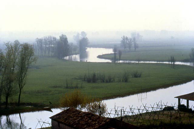
The river Mincio (etimological: "beginning") tributary of Lake Garda, flows from Peschiera, in Veneto Region, but crosses the Province of Mantua for 73 Kms, through the Morainic Hills down to the Po river, along a varied and multiform territory. The first part of the river flows winding and fast among the slant of the hills, trough the territories of Ponti sul Mincio, Monzambano, Volta and there meets the lowland at Goito.
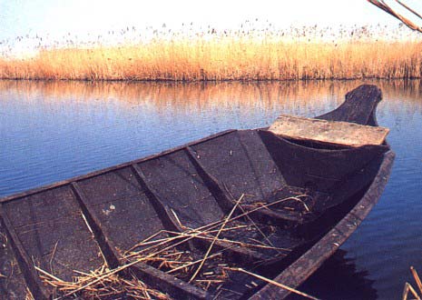
Typical boat of the area
Cartography of the Valleys of the Mincio

pdf on A 4 (1,01
mb)
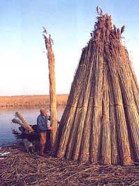
Marshy reed pickere
At Rivalta s/Mincio the river starts to create meanders, and in proximity of the Sanctuary of the Graces brusquely changes into a marshy area, giving life to one of the most important humid area of northern Italy: the Nature Reserve of the "Valleys of the Mincio", a vast swamp c.ca 1100 hectares. Here the river maintaining a principal artery, and starts to widen in a maze of channels and little ditches of different sizes, small ponds between reeds and sedges. At Borgo Angeli all the water ways combine in the great basin of the “Lago Superiore” or Upper Lake. In 1971 the Ramsar Convention declared our area "Humid Zone of international Importance especially for the Aquatic Birds", the marshy area was declared Nature Reserve from the Region Lombardy in 1984.
The origin of the “Valleys” (local denomination of the swamp) is the result of the delicate equilibrium between nature and the activity of the people. In 1188, the hydraulic engineer Alberto Pitentino was commisioned to regulate the waters around the city of Mantua; an embankment with a Brigde was built, called "Bridge of the Mills", unfortunately distroied during WWII. The purpose of the work was to regulate the course of the Mincio and to control the regurgitations of the Po in the periods of flood. This work reduced the stream, favoring the amplification of the marshy area.
North from the city of Mantua an ample mirror of water (Upper Lake) was obtained and slowly many fields became marshy. The waters that flowed out from the Bridge of the Mills formed three lakes: Lago di Mezzo (Middle lake), Lago Inferiore (Lower lake) and Lago Paiolo (Copper Lake) so creating a water defensive system around Mantua. The Copper lake was dried up in the 18th C. and reclaimed at the beginning of the 20th C.
In the past the locals could find in the marshy area a source of maintenance up to the seventies: fishing, hunting and cultivations of reed and sedge.
The river takes back its original course south of Mantua at Formigosa and flows into the river Po at Governolo. The lower course of the river is still navigable and through dykes boats can sail up to Venice, along the Po river.
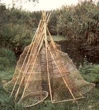
Creels for fishing